10 May 2026 · 3 min read
The Petrified Thunder: The Shoalhaven River's Permian Glacial Pavements
Near Nowra, NSW, 270-million-year-old glacial pavements preserve scratches and grooves etched by Permian ice sheets, recording when Australia lay frozen at the South Pole.
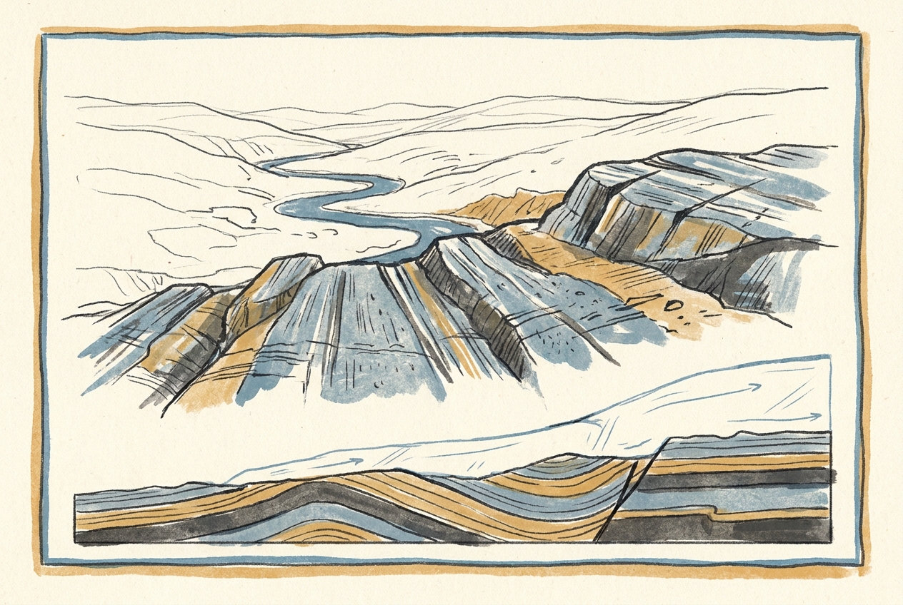
At low tide along the Shoalhaven River near Nowra, the sandstone riverbed reveals something unexpected: long, parallel grooves carved into solid rock, as though a giant rake was dragged across the stone and then frozen in place. These are Permian glacial pavements—the preserved floor of an ice sheet that covered eastern Australia 270 million years ago, when the continent was locked deep within the Antarctic Circle.
The Ice That Came From the South
During the late Paleozoic Ice Age, Australia was not the sunburnt, arid continent we know. It sat at high southern latitudes, part of the supercontinent Gondwana, with its eastern margin buried beneath kilometres of ice. The ice sheets flowed northward from a centre somewhere over the present-day Bass Strait and Tasman Sea, grinding across the landscape like slow-moving rasps.
The Shoalhaven Group sandstones—laid down in shallow marine environments during the Permian—were soft enough to record every movement of the overriding ice. As the glacier advanced, rock fragments frozen into its base scored the sandstone surface, etching striations that indicate the direction of flow. The grooves at Shoalhaven run consistently north-northwest, matching the regional pattern of ice movement across the Sydney Basin.
What makes these pavements exceptional is their preservation. Most glacial striations are destroyed by subsequent erosion or buried under younger sediment. Here, the river has stripped away the overlying shale, exposing the ancient floor as cleanly as a museum display.
A Landscape Written in Stone
The striations tell a precise story. The finest scratches, only millimetres wide, record the passage of silt-sized particles embedded in the ice base. The broader grooves, some as deep as a finger, were cut by larger clasts—quartz pebbles and cobbles dragged under pressure. The orientation is consistent across hundreds of metres, indicating a steady, regional ice flow rather than local valley glaciation.
Above the pavement, the sequence continues into the Berry Formation: interbedded sandstone, siltstone, and marine fossils that record the retreat of the ice and the return of shallow seas. The boundary between the striated surface and these overlying beds is sharp—a discomfortity representing the transition from glacial to post-glacial conditions.
Geologists have mapped similar pavements at other sites along the New South Wales coast—at Ulladulla, at Kiama, and in the Hunter Valley—but the Shoalhaven exposures are among the most accessible and extensive. They form part of a much larger record of Permian glaciation preserved across the southern continents, from South Africa to India to Antarctica, evidence of the Gondwanan ice sheet that once covered a hemisphere.
The ice that carved these grooves was not a mountain glacier or a local ice cap. It was a continental ice sheet, comparable in scale to modern Antarctica, grinding its way across what would become the beaches of Sydney.
The Weight of Deep Time
Standing on the Shoalhaven pavement, you are standing on a surface that has not moved in nearly 300 million years. The striations are fragile—a few decades of foot traffic or river scour could erase them—and yet they have survived the entire history of the dinosaurs, the breakup of Gondwana, the rise of the Great Dividing Range, and the passing of countless glacial cycles.
The river itself has cut down through the Permian sequence, exposing the pavement as a low bench that floods during high water and emerges again when the flow subsides. Each time the water recedes, the same grooves appear, as sharp as the day they were cut. The ice is long gone, but its signature remains.
More like this
- The 110-Million-Year-Old River That Runs Backwards UndergroundWestern Australia's 110-million-year-old dune system has been slowly dissolving into a labyrinth of caves where an ancient river still flows, carrying the taste of a Cretaceous desert.
- The 5,000-Year-Old Volcanoes That Still Smoke in the SouthIn Victoria's Newer Volcanics Province, 400 volcanic vents erupted as recently as 5,000 years ago—the youngest volcanic field in mainland Australia, where craters still hold blue lakes and scoria cone
- The 560-Million-Year-Old Garden That Never Saw a PredatorIn South Australia's Flinders Ranges, 560-million-year-old Ediacara surfaces preserve entire seafloor communities of fronds, discs, and quilts — a garden of soft-bodied life that flourished before pre