8 May 2026 · 2 min read
The Granite Sentinel: The Batholith of Wilsons Promontory
An exploration of the Devonian granite of Wilsons Promontory, the sculptural forces of spheroidal weathering, and the ancient land bridge of Bassianna.
The Great Dividing Range does not end at the Victorian coast; its granite spine plunges beneath the Bass Strait and rises again to form the rugged, wind-scoured peaks of Wilsons Promontory. These massive boulders, rounded by millions of years of Southern Ocean gales, are the visible remnants of a subterranean fire that once burned at the edge of a joining world.
The Cooling of the Batholith
The granite of Wilsons Promontory is part of a series of massive magma chambers, or batholiths, that formed approximately 395 million years ago during the Devonian period. At this time, the eastern margin of the Australian plate was a chaotic zone of subduction and mountain building known as the Tabberabberan Orogeny. As oceanic crust dived beneath the continent, it melted, sending plumes of buoyant, molten rock rising into the upper crust.
These plumes never reached the surface as volcanoes. Instead, they stalled kilometers underground, cooling with excruciating slowness. This glacial pace of cooling allowed large crystals of white orthoclase feldspar, smoky quartz, and black biotite mica to grow, creating the distinctive "porphyritic" texture of the Promontory granite. When you look closely at the boulders at Squeaky Beach, you are seeing the slow-motion chemistry of the Devonian deep.
The Architecture of Jointing
What gives Wilsons Promontory its dramatic, sculptural quality is a process known as spheroidal weathering. As the overlying kilometers of rock were slowly eroded away over hundreds of millions of years, the granite was finally released from the immense pressure of the deep earth. This "unloading" caused the rock to expand and crack along vertical and horizontal planes called joints.
Water seeped into these cracks, chemically attacking the minerals and turning the hard rock into soft clay. Because the corners of each rectangular block were attacked from three sides, they weathered away faster than the flat faces.
- Exfoliation: The granite "peels" like an onion as temperature changes cause the outer layers to expand and flake off.
- Tor Formation: The resistant cores of these blocks remain as "tors"—massive, balanced boulders that seem placed by hand.
- Mineral Hardness: The high quartz content makes the stone exceptionally resistant to the physical battering of the sea.
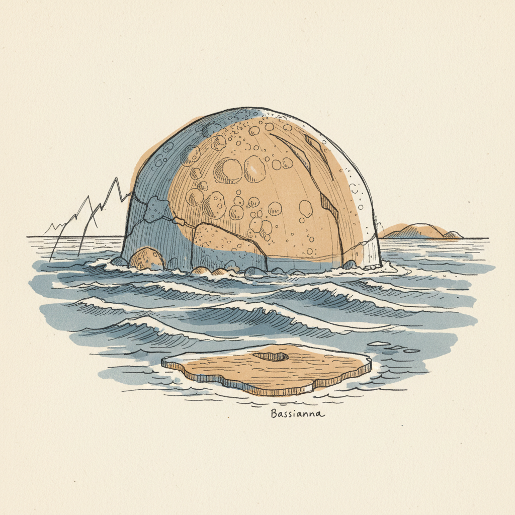
The Land Bridge of Bassianna
The Promontory today is a peninsula, but for much of the last million years, it was a high point on a vast terrestrial bridge. During the glacial cycles of the Pleistocene, sea levels dropped by as much as 120 meters, exposing the floor of the Bass Strait. This lost landscape, known to geologists as Bassianna, connected the Australian mainland to Tasmania.
"The Promontory stood as a granite sentinel overlooking a grassy plain where megafauna migrated between what we now call Victoria and the Furneaux Islands."
When the glaciers melted for the last time around 12,000 years ago, the Rising oceans flooded the plains of Bassianna. The granite peaks were cut off, becoming a chain of islands. It was only the accumulation of shifting sands, driven by winds and currents, that eventually created the Yanakie Isthmus—a narrow "tombolo" of dunes that tethered the granite massif back to the Victorian mainland. Today, the Promontory remains a geological hybrid: a mountain range that is technically an island, held in place by a thread of sand.
More like this
- The 110-Million-Year-Old River That Runs Backwards UndergroundWestern Australia's 110-million-year-old dune system has been slowly dissolving into a labyrinth of caves where an ancient river still flows, carrying the taste of a Cretaceous desert.
- The 5,000-Year-Old Volcanoes That Still Smoke in the SouthIn Victoria's Newer Volcanics Province, 400 volcanic vents erupted as recently as 5,000 years ago—the youngest volcanic field in mainland Australia, where craters still hold blue lakes and scoria cone
- The 560-Million-Year-Old Garden That Never Saw a PredatorIn South Australia's Flinders Ranges, 560-million-year-old Ediacara surfaces preserve entire seafloor communities of fronds, discs, and quilts — a garden of soft-bodied life that flourished before pre