8 May 2026 · 3 min read
The Brittle Seam: The Southwest Seismic Zone
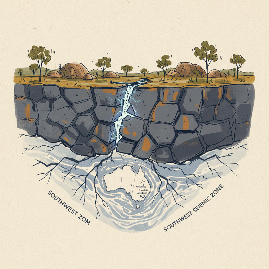
An exploration of the Southwest Seismic Zone in Western Australia, where ancient Archean crust snaps under modern tectonic pressure.
Deep beneath the rolling wheatbelts of the Wheatbelt region in Western Australia, the Earth’s crust is split by a jagged, invisible seam of seismic energy. Known as the Southwest Seismic Zone, this stretch of ancient ground is one of the most active intraplate earthquake regions in the world, despite being thousands of kilometers from the nearest tectonic plate boundary.
The Shattered Craton
The ground here belongs to the Yilgarn Craton, a massive block of Archean crust that has remained largely stable for nearly three billion years. However, stability is relative. While the edges of the Australian plate are being pushed and pulled by distant subduction zones, the interior of the continent is under immense compressive stress. This pressure does not result in the graceful folding of young rock, but in the brittle snapping of the old.
The Southwest Seismic Zone is essentially a collection of "blind" faults—fractures that do not always reach the surface but manifest as sudden, violent shifts in the granite basement. The most famous of these events occurred in 1968 near the town of Meckering. In a matter of seconds, a magnitude 6.5 earthquake ripped a 37-kilometer-long scar across the landscape, offsetting roads, railway lines, and fences by several meters.
The Meckering Scarp
The 1968 event was a revelation for geologists. It proved that the "dead" heart of a craton could produce surface ruptures of significant magnitude. The Meckering Scarp remains a visible testament to this power, appearing as a low, jagged ridge that cuts through paddocks. It is a compressional feature, a thrust fault where one block of the ancient Yilgarn granite was forced upward and over another.
Unlike the earthquakes at plate boundaries, which are caused by plates sliding past one another, these intraplate quakes are the result of the entire Australian continent being squeezed. Australia is moving north at about seven centimeters per year, colliding with the Indonesian archipelago. This collision sends shockwaves back through the continental plate, finding the weakest points in the ancient stone.
A Landscape of Hidden Pressure
The seismic activity in the Wheatbelt is not a series of isolated incidents but a continuous process of crustal adjustment. Since Meckering, other significant events have occurred at Calingiri (1970) and Cadoux (1979). These quakes often come in swarms, with hundreds of smaller tremors preceding or following a major rupture.
The geology of the region dictates the character of these events:
- Shallow Focus: Most quakes occur within the top 5 to 10 kilometers of the crust, making them feel much more intense at the surface than their magnitude might suggest.
- Brittle Failure: The cold, hard Archean granite does not deform plastically; it stores energy until it reaches a breaking point.
- Reverse Faulting: The dominant movement is upward and over, creating the characteristic "scarps" or steps in the landscape.
"The Australian continent is like a giant piece of glass being squeezed in a vice; it doesn't bend, it shatters at its weakest internal flaws."
The Quiet Threat
Today, the Southwest Seismic Zone remains a focus of intense study. It challenges the traditional view of cratons as inert geological fossils. Instead, it suggests that the oldest parts of the continent are the most prone to sudden, brittle failure because they lack the flexibility of younger, sediment-rich basins.
Walking across the Wheatbelt, there is little to suggest the volatility beneath. The landscape is a mosaic of salt lakes and granite outcrops weathered by eons of wind. Yet, the invisible stress continues to build. Every few decades, the ancient Yilgarn crust reminds the world that even the most stable foundations are subject to the restless geometry of a moving planet.
More like this
- The 110-Million-Year-Old River That Runs Backwards UndergroundWestern Australia's 110-million-year-old dune system has been slowly dissolving into a labyrinth of caves where an ancient river still flows, carrying the taste of a Cretaceous desert.
- The 5,000-Year-Old Volcanoes That Still Smoke in the SouthIn Victoria's Newer Volcanics Province, 400 volcanic vents erupted as recently as 5,000 years ago—the youngest volcanic field in mainland Australia, where craters still hold blue lakes and scoria cone
- The 1.75-Billion-Year-Old Reef That Outranks the BarrierA 1.75-billion-year-old microbial reef in the Kimberley is the largest biological structure ever built by a single species, preserving a world without predators.