22 May 2026 · 3 min read
The Ash That Preserved a Continent's Death: Victoria's K/T Boundary at Gellibrand
How a 66-million-year-old iridium-rich clay layer in Victoria records the asteroid impact that ended the Cretaceous—and the moment Australia's dinosaurs vanished.
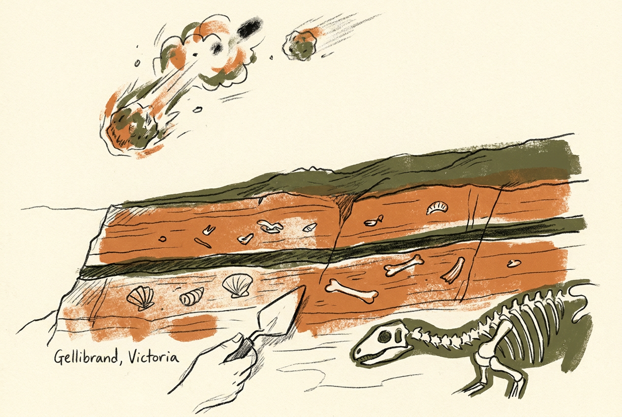
Near the coastal town of Gellibrand, in western Victoria, a thin band of grey clay sits between layers of marine sandstone. It is no more than a few centimetres thick. That clay marks the moment the Cretaceous Period ended—and with it, the reign of the dinosaurs.
The layer is the K/T boundary, the geological signature of the Chicxulub asteroid impact 66 million years ago. In Victoria, it is one of the few places on Earth where the boundary preserves not just the chemical fingerprint of the impact, but the fossils of the world that died with it.
The Iridium Signature
The clay at Gellibrand contains iridium, an element rare in Earth's crust but abundant in certain asteroids. When the 10-kilometre object struck what is now the Yucatán Peninsula, it vaporised, scattering iridium dust across the entire planet. That dust settled into a global layer, now found in more than 300 sites worldwide.
But Victoria's boundary layer is unusual. It was deposited in a shallow marine environment, about 100 kilometres from the coast of the ancient continent. The clay accumulated slowly, capturing not only the impact fallout but also the fossilised remains of the marine life that lived through—and died in—the catastrophe.
Foraminifera, microscopic shelled organisms, tell the story most clearly. Below the clay layer, their shells are abundant and diverse. Above it, the assemblage is sparse and dominated by a single opportunistic species. The extinction was sudden and near-total.
The Fossils of a Vanished Sea
The Gellibrand site preserves a slice of the Cretaceous Southern Ocean. The sediments contain ammonites with their shells intact, belemnites, and marine reptiles such as plesiosaurs. Above the boundary clay, these fossils disappear entirely.
What remains are the survivors: fish, sharks, crocodiles, and the earliest ancestors of modern birds. The transition is visible in a single outcrop, a few metres of rock that records the collapse of an ecosystem and the slow recovery that followed.
The site also preserves pollen and spores from the adjacent landmass. Below the boundary, the pollen is dominated by gymnosperms—cycads, conifers, and ginkgoes. Above it, ferns spike briefly, then give way to flowering plants. This is the same fern spike seen at K/T sites worldwide, a global signal of ecological devastation and rapid recolonisation.
A Window into the Recovery
The Gellibrand boundary is important not only for what it records about the extinction, but for what it reveals about the aftermath. The clay layer is overlain by a sequence of Paleocene sediments that document the slow re-establishment of marine and terrestrial ecosystems.
In the marine realm, the recovery took hundreds of thousands of years. The first foraminifera to reappear were small and simple. Gradually, larger and more diverse forms returned. The process was not linear—there were setbacks, pulses of extinction, and false starts.
On land, the recovery was faster but equally complex. The fern spike lasted only a few thousand years before flowering plants regained dominance. The mammals that survived the impact were small, shrew-like creatures. Within a million years, they had diversified into dozens of new forms, filling the ecological voids left by the dinosaurs.
In Victoria, the death of one world is compressed into a few centimetres of clay. The birth of another is written in the metres above it.
The Continental Context
Australia was in a different position 66 million years ago. It was still attached to Antarctica, part of the southern supercontinent that had not yet fully rifted apart. The climate was cool and wet, and the shallow seas that covered much of the continent teemed with life.
The Gellibrand boundary is one of the few places in the Southern Hemisphere where the K/T transition is preserved in such detail. Most boundary sites are in the Northern Hemisphere—in Denmark, Italy, and the American West. Victoria offers a rare glimpse of how the extinction played out at high southern latitudes.
The site also records the beginning of Australia's long journey northward. Within a few million years of the impact, Australia began to separate from Antarctica, drifting toward its present position. The K/T boundary at Gellibrand sits near the base of a sedimentary sequence that documents this entire tectonic history, from the Cretaceous greenhouse to the ice ages of the Pleistocene.
The clay layer itself is fragile. It weathers easily and is often obscured by vegetation or eroded away entirely. But where it is exposed, it holds one of the most complete records of a planetary catastrophe—and of the long, slow recovery that followed.
More like this
- The 560-Million-Year-Old Garden That Never Saw a PredatorIn South Australia's Flinders Ranges, 560-million-year-old Ediacara surfaces preserve entire seafloor communities of fronds, discs, and quilts — a garden of soft-bodied life that flourished before pre
- The 300-Million-Year-Old Forest That Died Standing UpIn New South Wales, a 300-million-year-old fossil forest preserves dozens of trees buried upright by a Permian volcanic eruption—an entire ecosystem frozen in ash.
- The 1.75-Billion-Year-Old Reef That Outranks the BarrierA 1.75-billion-year-old microbial reef in the Kimberley is the largest biological structure ever built by a single species, preserving a world without predators.