26 June 2026 · 3 min read
The 530-Million-Year-Old Volcano That Made the Nullarbor's Only Hill
How a 530-million-year-old volcanic eruption in South Australia created the Nullarbor Plain's only significant elevation—a rhyolite hill that rises like a ship from a flat sea of limestone.
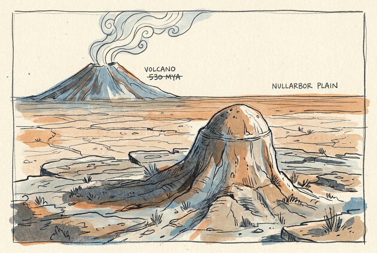
The Nullarbor Plain is the flattest landscape on Earth—a 200,000-square-kilometre sheet of limestone so level that the transcontinental railway runs dead straight for 478 kilometres. Yet near its southern edge, a single hill rises 100 metres above the plain. It is not made of limestone. It is made of 530-million-year-old rhyolite, the eroded stump of a volcano that erupted when this part of Australia was still an island arc in the Cambrian ocean.
The Volcano That Refused to Vanish
Most of the Nullarbor's limestone was deposited between 65 and 5 million years ago, when the region lay under a shallow sea. The volcanic rock beneath the hill is far older—530 million years, give or take. Geologists call it the Toolinna Rhyolite, and it belongs to a chain of ancient volcanic centres that stretched across what is now southern Australia during the Cambrian.
At that time, the continent did not exist. Instead, a series of volcanic island arcs—similar to today's Indonesian archipelago—sat above a subduction zone in the Panthalassic Ocean. The Toolinna volcano erupted thick, silica-rich lava that cooled into rhyolite, a pale, fine-grained rock resistant to chemical weathering.
When the limestone sea later covered the region, the rhyolite hill remained buried for tens of millions of years. Then the continent rose, the sea withdrew, and the slow work of dissolution began. Rainwater, slightly acidic from atmospheric carbon dioxide, started eating into the limestone.
A Hill Carved by Subtraction
The Nullarbor's flatness is not a sign of stability. It is a product of dissolution. Limestone is calcium carbonate, which dissolves readily in weak acid. Over the past 5 million years, the plain has been lowered by metres as rainwater carved sinkholes, caves, and solution channels into its surface.
But rhyolite does not dissolve. It weathers by physical cracking and the slow breakdown of feldspar crystals into clay. The Toolinna Rhyolite hill survived because it was chemically immune to the process that erased everything around it.
As the surrounding limestone dissolved away, the volcanic core remained standing. What looks like a hill is actually a monument to subtraction: the plain around it sank, while the rhyolite stayed put. The same process has created mesa landscapes in limestone regions worldwide, but nowhere else has it left such a solitary sentinel.
What the Hill Reveals
The Toolinna Rhyolite is not unique in composition, but it is unique in context. No other Cambrian volcanic centre on the Australian continent stands exposed in the middle of a Cenozoic limestone plain. The hill provides a rare window into a tectonic setting that has otherwise been buried or eroded away.
Samples of the rhyolite contain zircon crystals that date to 530 ± 5 million years—the early Cambrian, just after the Ediacaran period ended. This was a time of rapid geological change: the island arcs that would eventually collide to form the Australian continent were still active, and the first animals with hard skeletons were appearing in the oceans.
The hill also records the rate of limestone dissolution. Geomorphologists estimate that the Nullarbor's surface has lowered by roughly 1 to 2 metres per million years since the plain emerged from the sea. The 100-metre height of the Toolinna Rhyolite hill suggests the surrounding limestone has dissolved by at least that amount—a slow, relentless subtraction that has taken 5 to 10 million years.
The hill is not a remnant of something built. It is a remnant of something that refused to be taken away.
The Only High Ground
Today, the Toolinna Rhyolite hill is a landmark for the few people who cross this part of the Nullarbor. It supports a distinct plant community: saltbush and bluebush on the limestone plain give way to mulga scrub and spinifex on the rhyolite slopes, where the soil is thinner and more acidic.
For the traditional owners, the Mirning people, the hill was a reliable source of stone for tools and a navigational marker on a landscape otherwise devoid of reference points. European explorers noted it in the 1870s, calling it Mount Toolinna, though it is not a mountain in any conventional sense.
It is the only place on the entire Nullarbor Plain where a person can stand on Cambrian volcanic rock and look out over a sea of limestone that covers 200,000 square kilometres—a single hill, made of ancient lava, that outlasted an ocean.
More like this
- The 110-Million-Year-Old River That Runs Backwards UndergroundWestern Australia's 110-million-year-old dune system has been slowly dissolving into a labyrinth of caves where an ancient river still flows, carrying the taste of a Cretaceous desert.
- The 5,000-Year-Old Volcanoes That Still Smoke in the SouthIn Victoria's Newer Volcanics Province, 400 volcanic vents erupted as recently as 5,000 years ago—the youngest volcanic field in mainland Australia, where craters still hold blue lakes and scoria cone
- The 300-Million-Year-Old Forest That Died Standing UpIn New South Wales, a 300-million-year-old fossil forest preserves dozens of trees buried upright by a Permian volcanic eruption—an entire ecosystem frozen in ash.