6 July 2026 · 3 min read
The 500-Million-Year-Old Volcano That Built a Peninsula
How 500-million-year-old Cambrian volcanoes on the Mornington Peninsula created a chain of lava domes, scoria cones, and hot springs that still shape Melbourne's coastline today.
On the Mornington Peninsula, the volcanoes never erupted in the way we imagine. No cones rose in a single violent afternoon. Instead, for 50 million years, magma pushed through the crust like dough rising through cracks in a pie—slowly, stubbornly, building a landscape from below.
The Cambrian Foundations
The story begins 500 million years ago, during the Cambrian, when the eastern edge of Australia was not a continent but a deep ocean trench. The Pacific Plate was sliding beneath Gondwana's margin, and the subduction zone melted rock into magma that rose in pulses. That magma did not always reach the surface. Much of it stalled in the crust, cooling into granite and diorite that would later form the peninsula's spine.
What did erupt came through submarine volcanoes—pillow lavas that squeezed into cold seawater like toothpaste from a tube. You can still see them today at Cape Schanck and along the coastal cliffs near Flinders, where the rounded, bulbous shapes of 500-million-year-old pillow basalts are exposed in the rockface, each one a frozen snapshot of lava meeting the sea.
These were not large eruptions. They built no towering stratovolcanoes. But they laid the foundation for everything that followed.
The Tertiary Overprint
Fast forward 450 million years. By the Eocene, 50 million years ago, Australia was drifting north after breaking from Antarctica. The crust stretched and thinned, and a new phase of volcanism began—not from subduction, but from a mantle hotspot or a zone of extension beneath the Bass Strait.
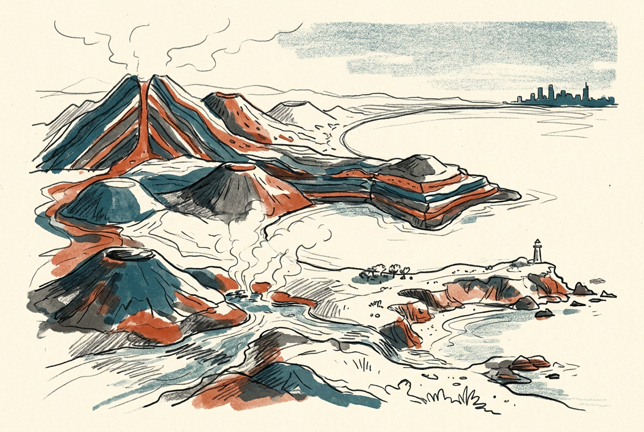
This second volcanic phase was more visible. It built the scoria cones and lava domes that dot the peninsula today: Arthur's Seat, the highest point on the peninsula, is the eroded remnant of a lava dome. Mount Eliza, Mount Martha, and Mount Moorooduc are all volcanic vents, their shapes softened by millions of years of rain and wind.
The eruptions were basaltic—fluid, low in silica, capable of flowing long distances. Individual lava flows traveled tens of kilometres, filling valleys and creating the flat, fertile plains that now support the region's vineyards.
The Hot Springs That Remained
The most telling feature of the Mornington Peninsula's volcanic past is not a mountain at all. It is the Peninsula Hot Springs—thermal water that rises from deep fractures in the crust, heated by the same geothermal gradient that fed the Tertiary volcanoes.
The water that emerges at the hot springs fell as rain tens of thousands of years ago. It percolated through the basalt and sandstone, reaching depths of 800 metres, where the Earth's internal heat warmed it to 60 degrees Celsius. Then it rose again along the same faults that once channeled magma.
The hot springs are the volcanoes' ghost—a reminder that the plumbing system remains intact, even if the fires have gone out.
Similar thermal springs exist elsewhere in Victoria, but the Mornington system is the most accessible, a living link to a volcanic province that has not erupted for 5 million years.
What the Landscape Still Hides
The Mornington Peninsula is often described as a "volcanic landscape," but the description undersells its strangeness. This is not a landscape of dramatic peaks and craters. It is a landscape of subtle bulges, buried vents, and lava flows so thoroughly weathered that they look like ordinary hills.
Walk the coastal trail from Portsea to Sorrento, and you pass over basalt that flowed from vents now invisible beneath housing estates. At Dromana, the quarry exposes columnar jointing—hexagonal basalt columns formed as thick lava cooled evenly. At Red Hill, the soil's deep red colour comes from iron-rich basalt weathering, the same process that stains Flinders Ranges red.
The peninsula is a volcanic field, not a single volcano—a scatter of perhaps 40 vents, each active for only a few thousand years, spread across 30 kilometres. This makes it part of the Newer Volcanics Province, a young volcanic field that stretches from Melbourne to Mount Gambier and includes the 5,000-year-old maar at Mount Gambier already described in these pages.
But the Mornington Peninsula is older, quieter, and less dramatic. Its volcanoes did not explode. They seeped and bulged and flowed, building a landscape so subtle that most people who drive through it never notice they are crossing an ancient eruption site.
That is the finest kind of geology: the kind that hides in plain sight, beneath vineyards and coastal towns, waiting for someone to ask what made the hills so round.
More like this
- The 110-Million-Year-Old River That Runs Backwards UndergroundWestern Australia's 110-million-year-old dune system has been slowly dissolving into a labyrinth of caves where an ancient river still flows, carrying the taste of a Cretaceous desert.
- The 5,000-Year-Old Volcanoes That Still Smoke in the SouthIn Victoria's Newer Volcanics Province, 400 volcanic vents erupted as recently as 5,000 years ago—the youngest volcanic field in mainland Australia, where craters still hold blue lakes and scoria cone
- The 300-Million-Year-Old Forest That Died Standing UpIn New South Wales, a 300-million-year-old fossil forest preserves dozens of trees buried upright by a Permian volcanic eruption—an entire ecosystem frozen in ash.