25 June 2026 · 3 min read
The 420-Million-Year-Old Reef That Built an Island
How a 420-million-year-old coral reef in Western Australia's Kimberley region became a limestone island that preserves the only known Silurian reef on the continent.
From the air, the Napier Range looks like a shipwrecked spine. It runs for 300 kilometres across Western Australia's Kimberley plateau, a jagged wall of grey limestone that rises abruptly from the savannah. These cliffs were once a living reef — a 420-million-year-old barrier of coral and sponge that grew when Australia sat near the equator, in a warm Silurian sea that no longer exists.
The Reef That Time Bypassed
Most of the world's Silurian reefs were destroyed by erosion, buried by younger rocks, or crushed by tectonic collision. The Napier Range escaped. It was never deeply buried, never compressed into metamorphic rock. The reef remained limestone — porous, fossil-rich, and largely intact.
What preserved it was isolation. The Kimberley region has been geologically quiet for hundreds of millions of years. No mountain-building events uplifted and destroyed the reef. No glaciers scoured it flat. The range sat exposed to weathering, but weathering alone could not erase a limestone mass 300 metres thick.
The reef grew in a shallow tropical sea that covered much of northwest Australia during the Silurian period. Stromatoporoids — dome-shaped organisms related to sponges — built the reef's framework. Tabulate corals filled the gaps. The result was a barrier complex that stretched for hundreds of kilometres, ringing a lagoon that no longer exists.
A Window Into the Silurian
The Napier Range contains Australia's only known Silurian reef deposit. Elsewhere on the continent, rocks of this age are either missing or deeply buried. The reef fills a gap in the fossil record that spans nearly 30 million years.
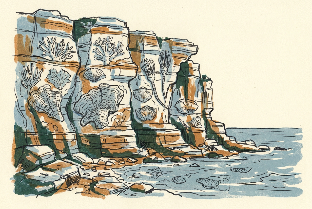
Fossils preserved in the limestone include brachiopods, crinoids, and nautiloid cephalopods. The reef's structure shows clear zonation: a reef flat, a reef crest, and a fore-reef slope that dropped into deeper water. These features are visible in the cliff faces today, etched by wind and rain over millions of years.
The Napier Range is not just a fossil reef — it is a complete Silurian ecosystem, frozen in limestone.
The Island That Formed From the Reef
After the Silurian sea withdrew, the reef remained as a plateau of limestone. Rivers carved through it. The surrounding softer rocks eroded away. What remained was the Napier Range — a sinuous ridge that today forms the southern boundary of the Kimberley's limestone plains.
During the Cretaceous period, about 130 million years ago, the sea returned. It flooded the lowlands around the range, turning the reef into a chain of islands. Marine sediments deposited around the range contain Cretaceous fossils, including ammonites and marine reptiles. The reef itself was a limestone island in a sea full of plesiosaurs.
When the sea withdrew again, the reef was left as a high ridge above a flat plain. Caves formed in the limestone. The range's most famous feature, Tunnel Creek, is a 750-metre-long cave carved through the reef by a river that still flows through it.
The Living Reef Today
The Napier Range is not dead. The limestone is still dissolving, still forming caves and sinkholes. The reef fossils are still visible in the cliff faces, their shapes distinct against the grey rock.
Walking along the base of the range, you can see the same structures that reef-builders use today: the dome shapes of stromatoporoids, the honeycomb patterns of tabulate corals, the spiral shells of ancient nautiloids. The reef is 420 million years old, but it looks like it could have grown yesterday.
More like this
- The 110-Million-Year-Old River That Runs Backwards UndergroundWestern Australia's 110-million-year-old dune system has been slowly dissolving into a labyrinth of caves where an ancient river still flows, carrying the taste of a Cretaceous desert.
- The 5,000-Year-Old Volcanoes That Still Smoke in the SouthIn Victoria's Newer Volcanics Province, 400 volcanic vents erupted as recently as 5,000 years ago—the youngest volcanic field in mainland Australia, where craters still hold blue lakes and scoria cone
- The 560-Million-Year-Old Garden That Never Saw a PredatorIn South Australia's Flinders Ranges, 560-million-year-old Ediacara surfaces preserve entire seafloor communities of fronds, discs, and quilts — a garden of soft-bodied life that flourished before pre