8 May 2026 · 2 min read
The Polar Rift: The Otway Eumeralla Formation
Explore the Eumeralla Formation of the Otway Ranges, where 110-million-year-old sandstones preserve the record of Australia's polar dinosaurs and the rifting of Gondwana.
Along the rugged coastline of the Otway Ranges in Victoria, the cliffs are composed of a greenish-grey sandstone that tells the story of Australia’s final, cold departure from the southern supercontinent. These rocks, part of the Eumeralla Formation, were deposited roughly 110 million years ago when this land was not a sun-scorched island, but a lush, dark rift valley located within the Antarctic Circle.
The Sub-Polar Greenhouse
During the Early Cretaceous, the world was a greenhouse, yet the high latitudes still endured months of winter darkness. The Otway and Gippsland Basins formed as the crust between Australia and Antarctica began to stretch and thin, creating a vast lowland of braided rivers and floodplains.
The sediment filling this rift was largely volcanogenic, derived from a chain of active volcanoes far to the east. This nutrient-rich ash supported a resilient ecosystem of conifers, ginkgos, and ferns. Unlike the tropical jungles often associated with dinosaurs, these forests survived in a "cool-temperate" climate where temperatures likely dipped below freezing.
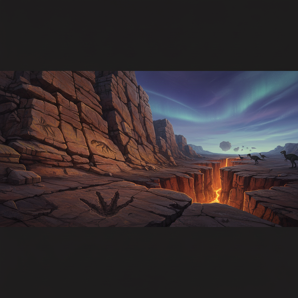
The Leahy’s Polar Dinosaurs
The Otway coast is now famous for sites like Dinosaur Cove, where the relentless Southern Ocean has carved into the Cretaceous strata. Within these rocks, paleontologists have found a unique assemblage of "polar dinosaurs" that adapted to the long, dark winters.
Small, bipedal herbivores called ornithopods dominate the record. These animals possessed unusually large optic lobes, a neurological adaptation that likely allowed them to forage in the twilight of the polar night. The presence of these fossils suggests that dinosaurs were not strictly cold-blooded or tropical creatures, but adaptable survivors capable of enduring high-latitude extremes.
The Ripping of the Crust
The geology of the Otway is defined by the tension of the breakup. As Australia began to pull away from Antarctica, the crust fractured into a series of faults and blocks. This tectonic stretching created the accommodation space for kilometers of sediment to accumulate, preserving the river systems and the life they held.
The Otway Basin is a testament to the slow violence of continental rifting, where the Earth’s crust was pulled like taffy until the sea finally rushed in to fill the gap.
Eventually, the rift failed to fully separate at this specific point, with the final break occurring further south. This left the Eumeralla Formation exposed as a terrestrial record of a transition. Today, the sandstone cliffs stand as a frozen frame of the moment Australia prepared to drift north into its long, lonely isolation.
Evidence in the Stone
Walking the shorelines at low tide reveals the specific energy of that ancient environment. The rocks are not uniform; they are a chaotic mix of river-borne materials.
- Cross-bedding: Inclined layers in the sandstone that indicate the direction of ancient river currents.
- Carbonaceous Flecks: Tiny fragments of coalified wood, the remains of the Cretaceous forests.
- Lahar Deposits: Thick beds of volcanic debris that were washed into the valley from distant eruptions.
These features remind us that the Australian landscape is a patchwork of previous worlds. The cold, wind-whipped cliffs of Victoria are, paradoxically, the best place to find the remains of a forest that thrived when the South Pole was green.
More like this
- The 560-Million-Year-Old Garden That Never Saw a PredatorIn South Australia's Flinders Ranges, 560-million-year-old Ediacara surfaces preserve entire seafloor communities of fronds, discs, and quilts — a garden of soft-bodied life that flourished before pre
- The 1.75-Billion-Year-Old Reef That Outranks the BarrierA 1.75-billion-year-old microbial reef in the Kimberley is the largest biological structure ever built by a single species, preserving a world without predators.
- The 3.5-Billion-Year-Old Cones That Still Catch LightIn the Pilbara's Dresser Formation, 3.5-billion-year-old stromatolites preserve the oldest direct evidence of life on Earth—microbial mats that built layered domes in a volcanic caldera.